The Map Plates
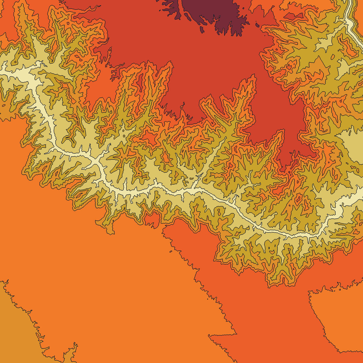
A growing collection of terrain plates. Real elevation, flat bands, ink contours.
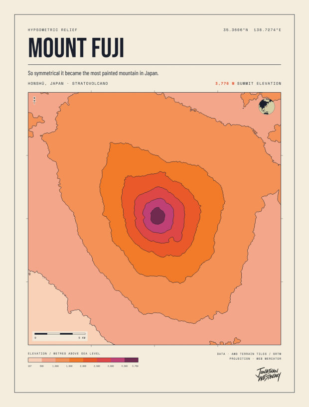
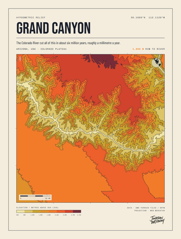
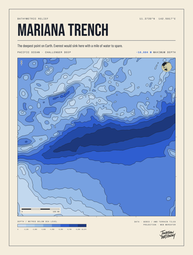
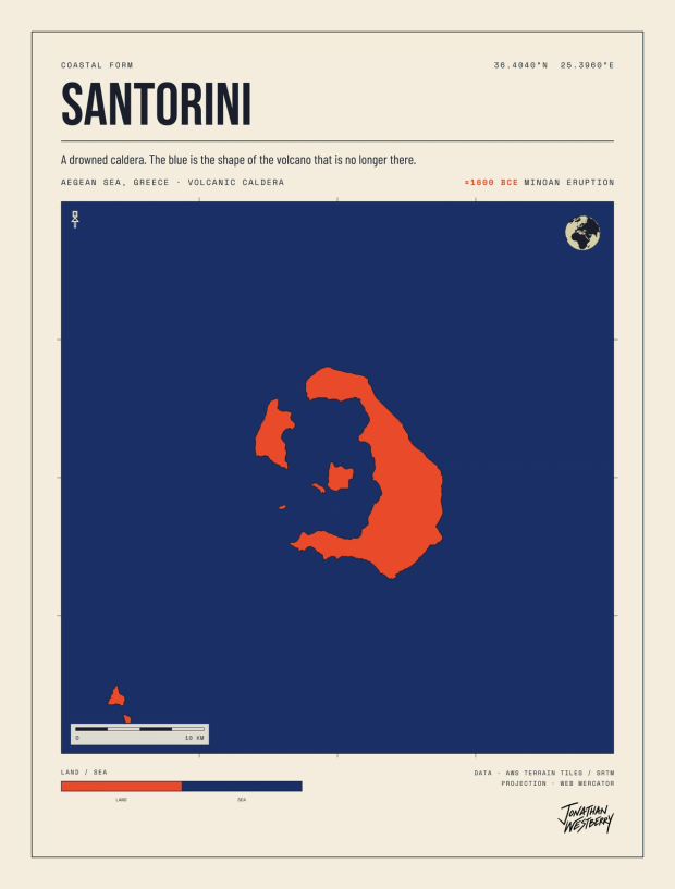
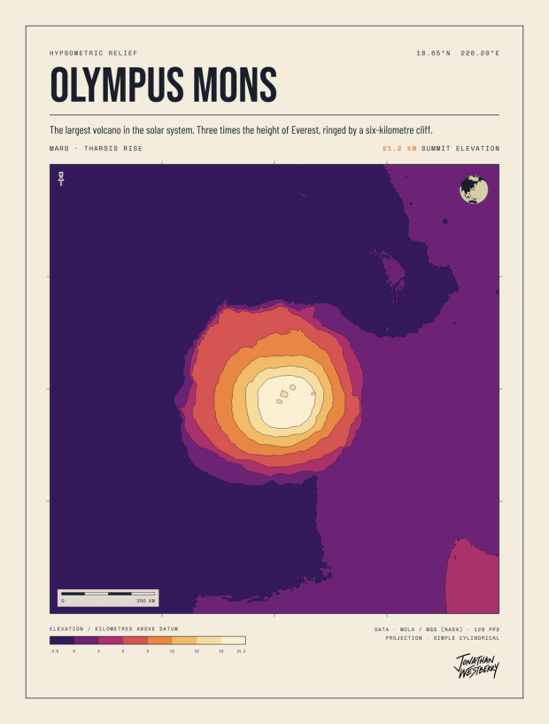
A collection of terrain plates: real landforms drawn from real elevation data, in one visual system. Flat bands of color, ink contour lines, a shared frame of cream, ink, and tan.
The system
Most plates band elevation in stepped fills: hypsometric mapping, elevation translated straight into color. Some reduce further, to two tones of land against sea. The frame and the palette hold the collection together, and each plate carries one accent of its own.
The elevation is real, not illustrated. Earth plates read from terrain tiles that carry ocean depth as well as land height. The Mars plate reads NASA's laser-altimeter grid. If the system can map a volcano in Japan, it can map the largest volcano in the solar system.