The Toronto Micro-Atlas
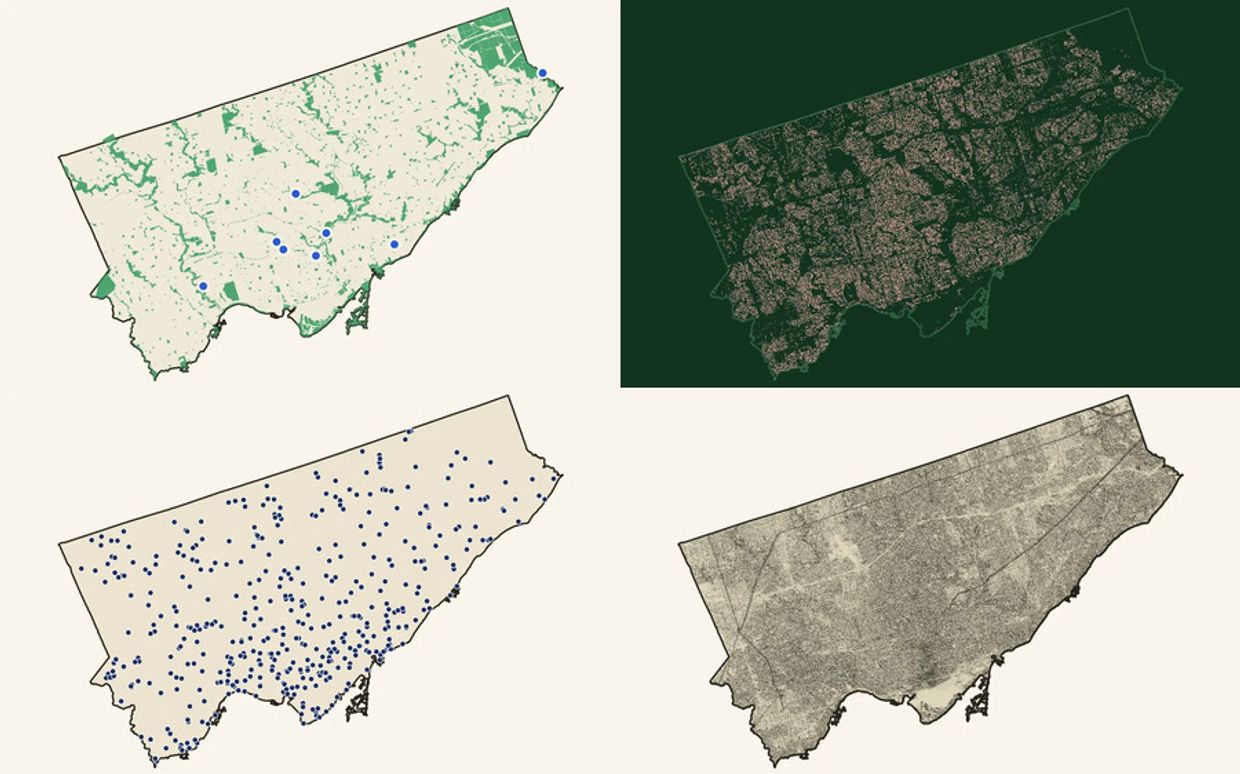
Four live guides turn Toronto data into maps people can explore and use.
Toronto publishes an enormous record of itself: street trees, washrooms, transit schedules, old watercourses, land cover, and lidar. Most of it is hard to use outside a spreadsheet or GIS. The Toronto Micro-Atlas turns those records into maps for noticing and using the city.
I created the atlas as an independent editorial publication. I direct the research, data modelling, cartographic design, writing, interaction design, frontend development, evidence review, and release process.
One publication, four different jobs
Hidden Landscapes maps eight places where Toronto's street grid gives way to ravines, slopes, trails, and buried watercourses. Sidewalk Forest draws all 688,335 recorded street trees as individual dots and lets a reader find the tree outside their door. When Toronto Has to Go tests 475 public washroom facility records against real opening hours and scheduled transit activity. Out of the Sun models ground shade hour by hour and makes the limits of that model visible.
The subjects change, but the product system stays consistent. Each guide opens with a human question, carries a sourced editorial argument, and hands the reader an explorable map. Shared navigation, typography, evidence patterns, map controls, and release checks make the series feel like one publication instead of four unrelated websites.
A repeatable production system
The atlas is built to keep growing. Data pipelines produce documented web assets. Contract tests pin public claims and routes. Browser checks test the map interactions and accessibility at the breakpoints people actually use. Each guide can have its own visual register without rebuilding the publication shell.
That system matters more than any single map. It shows how a small team or one independent studio can turn dense public records into a sustained editorial product, then keep every claim traceable as the publication changes.
What this proves
For civic, editorial, environmental, or public-space teams, the atlas is evidence that I can shape a body of spatial work from the first research question through data production, visual language, interaction, writing, QA, and release. It is not a one-off map. It is a working publication with four live guides and room for the next one.
Explore all four guides at torontomicroatlas.com.