Fifty Years Underground
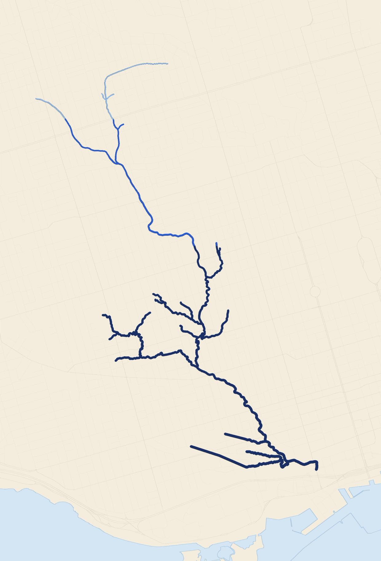
A buried Toronto river, mapped by the order it disappeared. Mouth first, 1884 to about 1920.
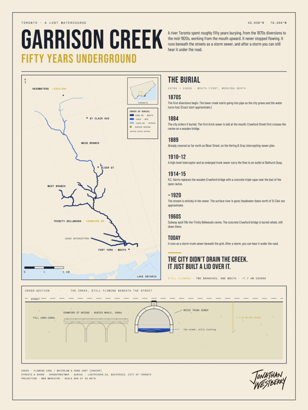
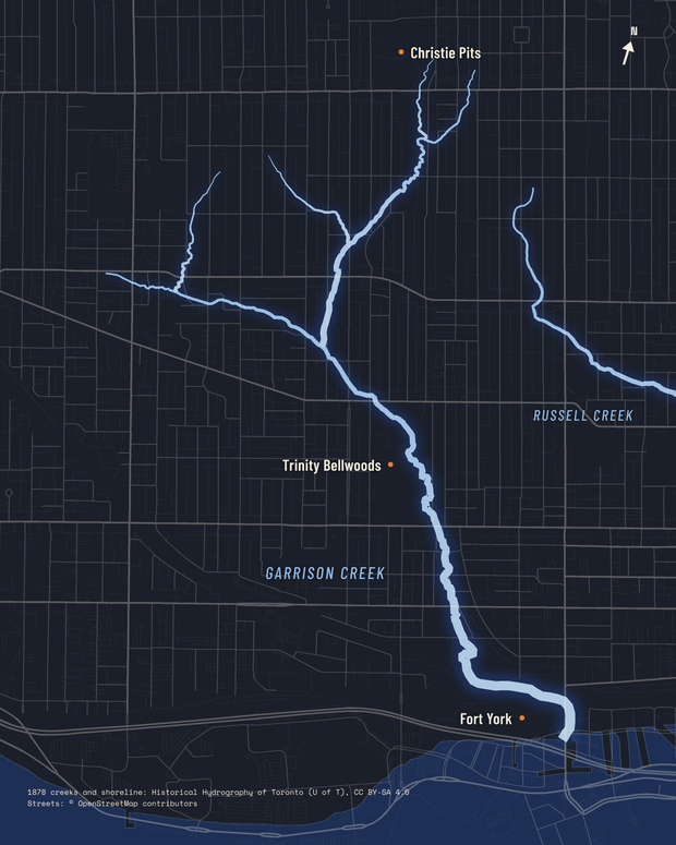
Toronto buried a river, and the map colors it by the order it disappeared. The creek still runs inside a storm sewer. After a storm, you can hear it under the road.
The river
Two headwater branches start north of St Clair. They join and run about 7.7 km south to a mouth near Fort York, where the creek fed the garrison that gave it its name.
That mouth now sits inland from today's shore: the land south of it was filled in later.
The burial
The burial took roughly fifty years, from the first diversions into sewers in the 1870s to a fully buried stream by about 1920.
In 1884 the city decided to bury the creek and built the first brick sewer on the lower course. An 1889 engineering survey found the creek already covered as far as Bloor.
The city enlarged the sewer between 1910 and 1912 and tied it into a new interceptor. By about 1920 the stream ran entirely in pipe.
In the 1960s, spoil from subway construction filled what remained of the ravine at Trinity Bellwoods and buried the concrete Crawford Street bridge where it stood.
Coloring honestly
I colored what the record actually supports: phases, not exact dates for every stretch.
Deep navy marks the lower course, buried between 1884 and 89. Cobalt marks the middle stretch, from the 1890s to 1912. Pale sky marks the headwaters, buried by roughly 1915 to 20.
A separate mauve marker flags the buried Crawford Street bridge at Trinity Bellwoods, part of the 1960s ravine fill that came after the creek was already underground. The key states plainly that the upstream dates are approximate.
I could have picked a single year for each stretch and made the map look more certain. A confident date the record can't support would be a less honest map.
Still there
A dated timeline of the burial runs beside the map, and a cross-section shows what the street hides: fill, then the brick sewer, with the creek still flowing inside it.
You can still read the creek in the city. Parks like Trinity Bellwoods and Christie Pits trace the old ravine, which is why its shape survives between the buildings.
A second view
This is the same creek drawn a different way. The course comes off an 1878 survey instead of the 1851 plan, and rather than coloring the burial, it puts today's streets over the top so you can see what covers it now.
The 1878 survey doesn't name anything. It's twelve numbered lines and nothing else, so calling this one Garrison is my own call, based on where it runs: within 94 meters of Trinity Bellwoods and 136 meters of Fort York.
Fort York sat 100 meters from the lake when that survey was drawn. It's 536 meters from the water now.
Course digitized from the 1851 Fleming plan. The second map uses the 1878 Hart and Rawlinson survey, digitized by the University of Toronto Map and Data Library and released under CC BY-SA 4.0, with streets from OpenStreetMap. Burial chronology from Toronto's lost-rivers research community and city records.