Hidden Landscapes
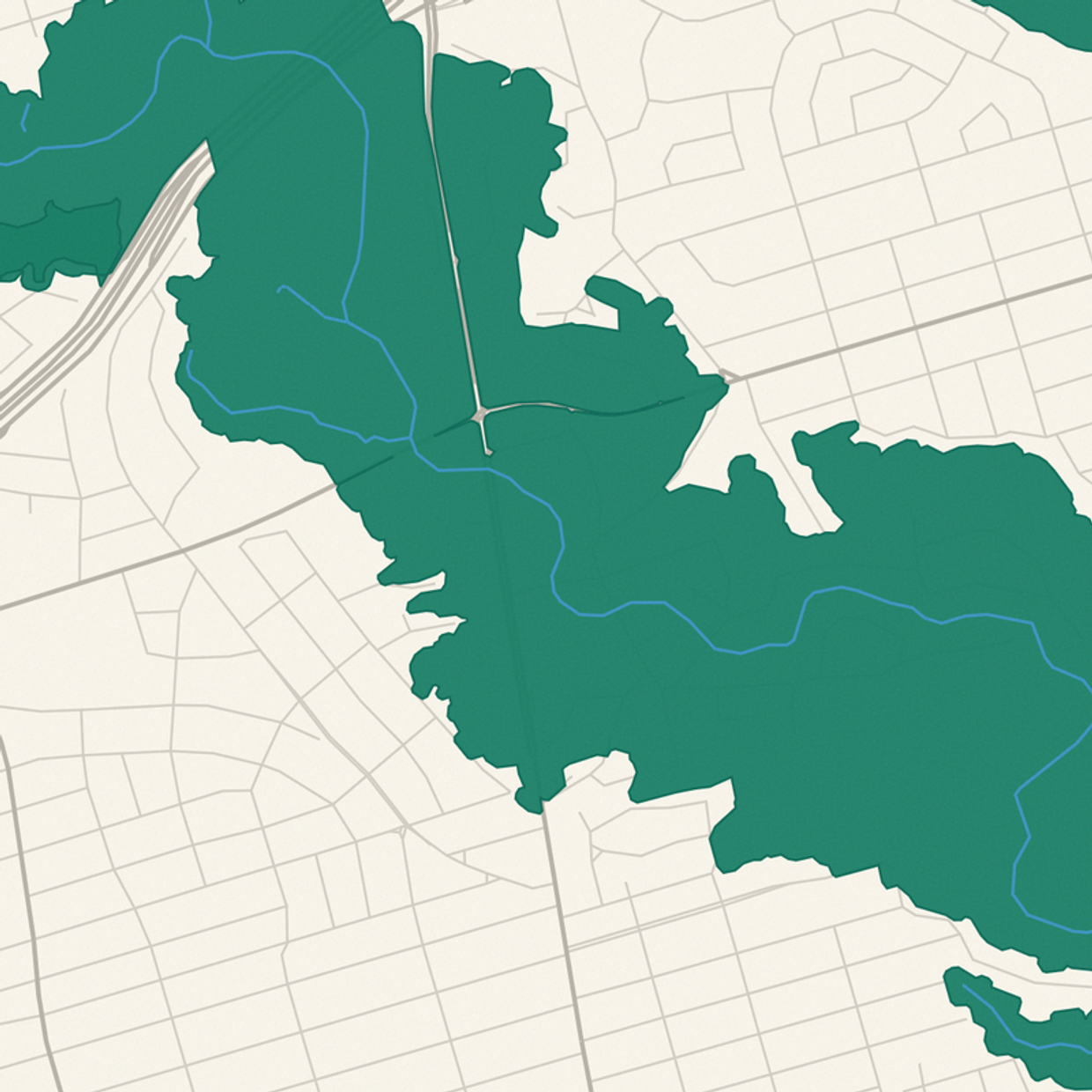
Toronto is built on a second geography. I mapped the eight places where you can step off the street into it.
Toronto's street grid looks complete until it isn't. Walk long enough in this city and eventually the sidewalk does something strange: it drops. A busy corner gives way to stairs, a path, a bridge, and suddenly the streets are gone. The city is built on top of a second geography, a network of ravines, valleys, and buried creeks that the grid cuts around, bridges over, and mostly ignores. The protected ravine system covers about 17.6% of Toronto, and it is weirdly easy to live here for years without noticing.
I wanted to map the noticing. So I built Hidden Landscapes, the first guide in the Toronto Micro-Atlas. It documents eight threshold spots: places where you step off an ordinary sidewalk, and the landscape asserts itself. Each entry is a specific place you can walk to, with an interactive map, directions, and the history and geology behind it, all sourced.
A few of my favourites. At St. Clair and Bathurst, near the subway station, an unannounced path drops into Nordheimer Ravine. Within a few steps, mature oaks close overhead, and the street disappears behind the slope. The ravine is the valley of Castle Frank Brook, a creek that once flowed openly here and now runs buried beneath the trail. The water is out of sight, but the landform it carved is not.
The Baldwin Steps climb something that isn't a ravine at all. The Davenport escarpment is the old shoreline of glacial Lake Iroquois, the lake that filled the Ontario basin at the end of the last ice age. From street level, the grid absorbs the height change across several blocks, so you barely register it. Only the steps make the full drop visible at once: from the top, the city spreads out below your feet, and you are standing on an ice-age beach.
And in the west end, the Old Mill Bridge crosses the Humber where the valley opens wide on both sides. The arch dates to 1916, designed by engineer Frank Barber in concrete faced with stone so convincingly it reads as a stone bridge; it replaced a truss crossing that an icy flood destroyed in 1914. The Humber here feels like a separate landscape system, not a gap between streets, and Old Mill Station sits a short walk away, which makes it the easiest threshold in the guide to reach.
What the data surfaced
The guide is built from City of Toronto Open Data and OpenStreetMap, processed into ten map layers. The detail I didn't plan for: OSM tags culverted creeks, so I could tell which watercourses run underground. Of Toronto's 3,153 mapped watercourse segments, about 1,000 run buried beneath the streets. The map draws every buried creek as a dashed line. Zoom out and the hidden hydrology becomes readable at a glance: solid lines where water still flows in the open, dashes where it disappears under the pavement. The map ended up showing exactly the hidden geography the guide is about, without me having to say a word.
That number changed how I walk around. Once you know the dashes are there, you start feeling them: a dip in a street that shouldn't dip, a park that runs in a suspicious curve, a name like Spring or Brook on a block with no water in sight.
The other five entries range from a tunnel-and-bridge sequence in Rosedale to the Mast Trail out in the Rouge. Every one is a real place, reachable on foot or by transit. The whole thing is free, with no ads and no account. Start with the citywide map in Hidden Landscapes, find the dashed line nearest your home, and go stand on top of your buried creek. Then pick a threshold and walk through it. The second city is right there, one staircase down.